Length: Between 2.5 and 7.5 miles depending on route taken
Duration: Varied depending on route taken: more details below
Difficulty: Easy
Direction: Circular
Accessibility: Please see walk map for more details
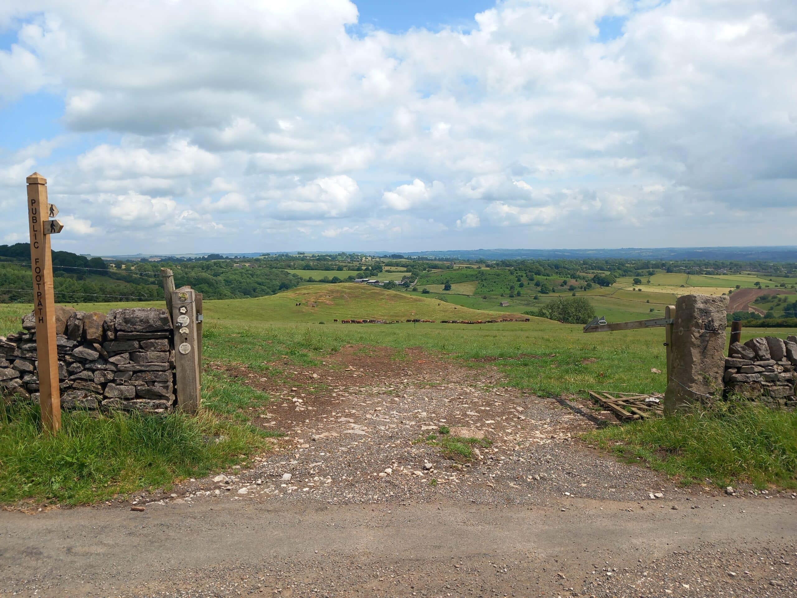
Waymarking: Yes
Ellastone & Weaver Hills Walk: A Countryside Escape
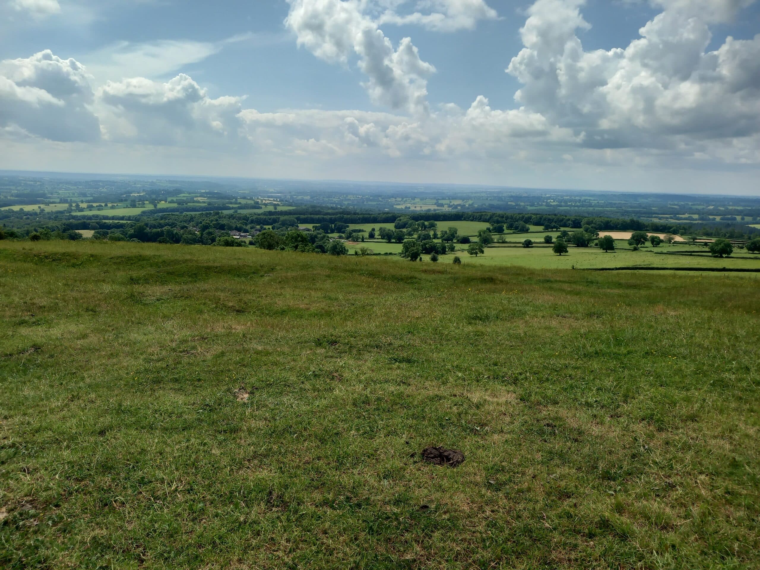
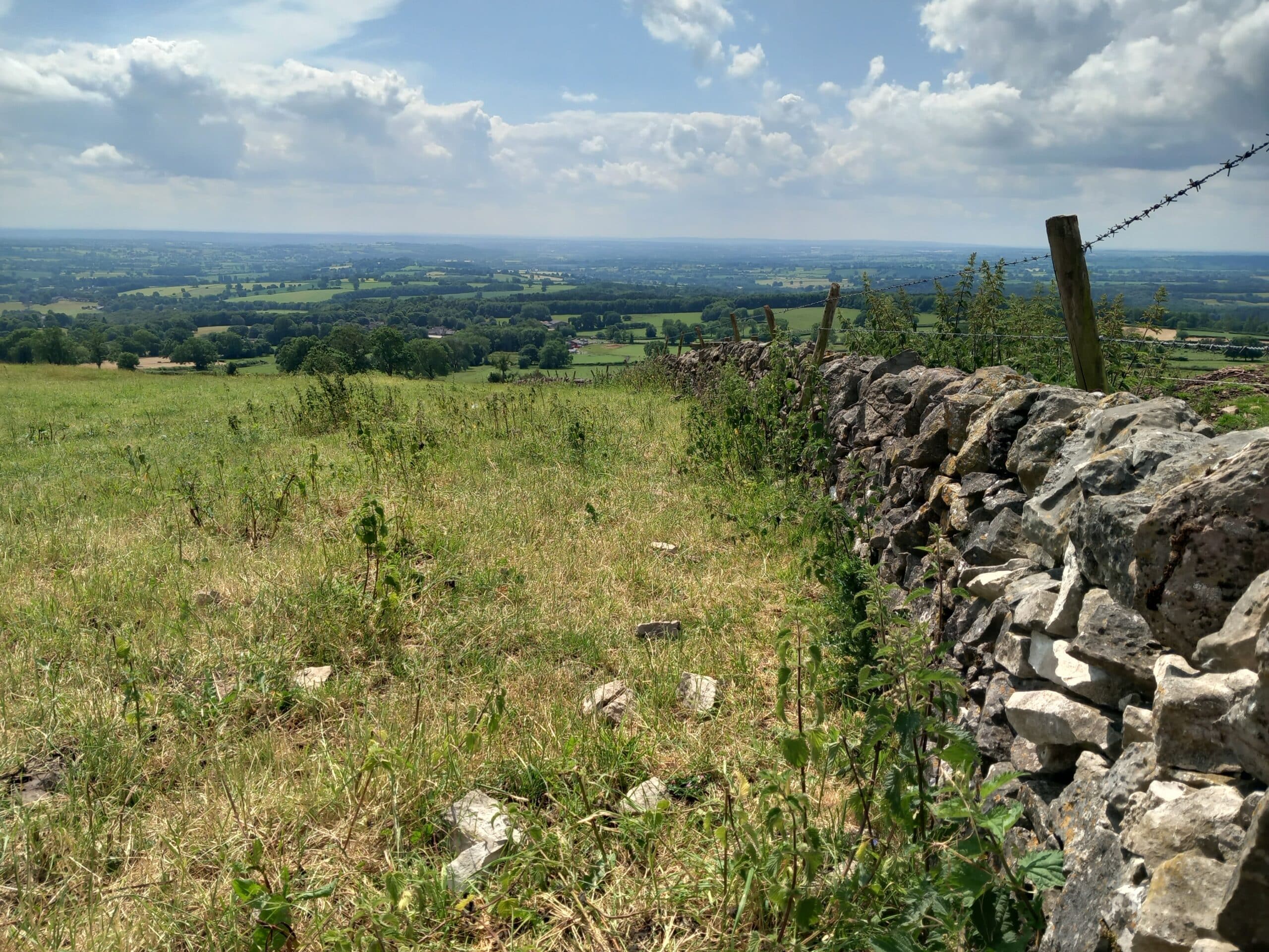
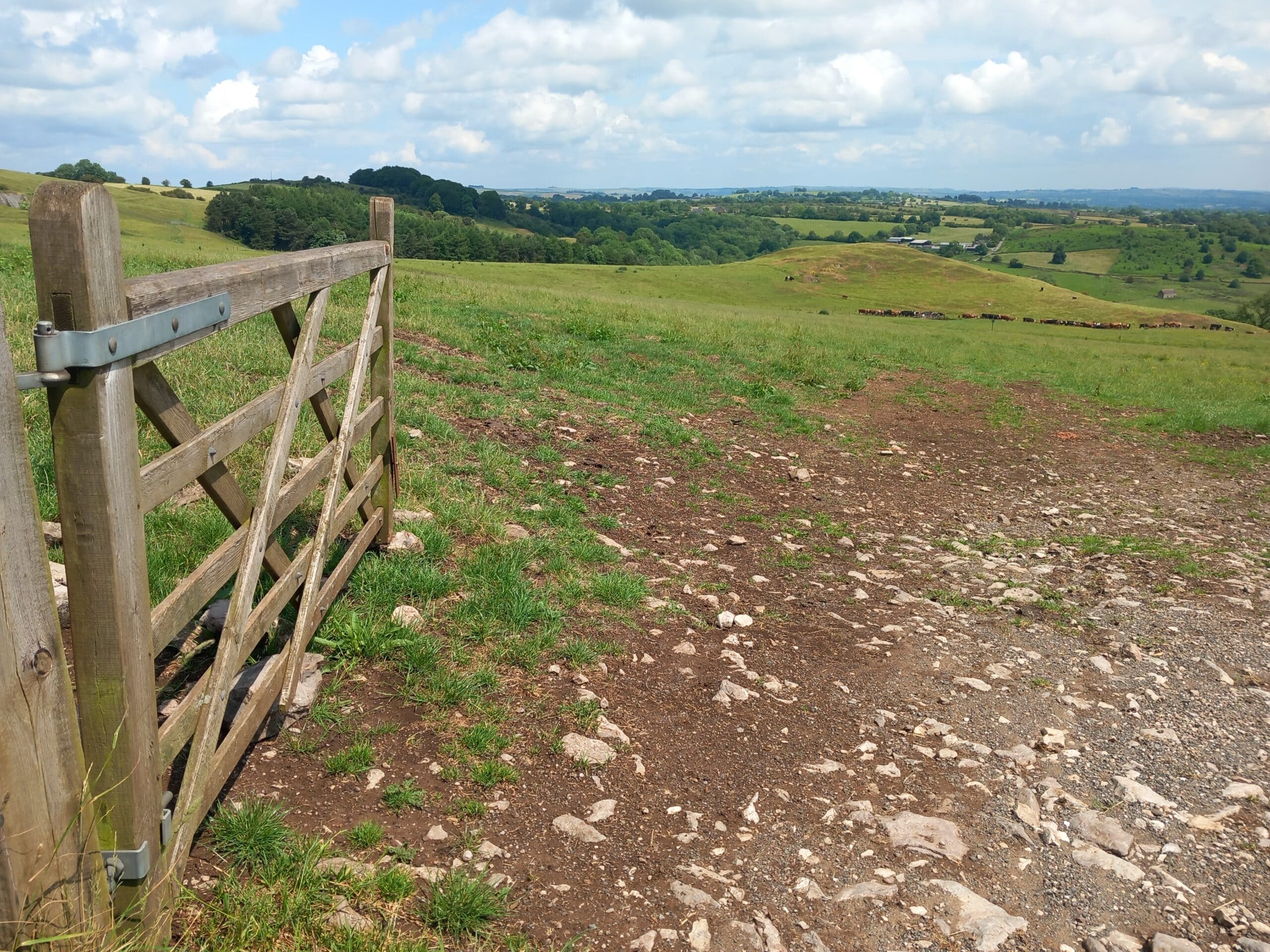
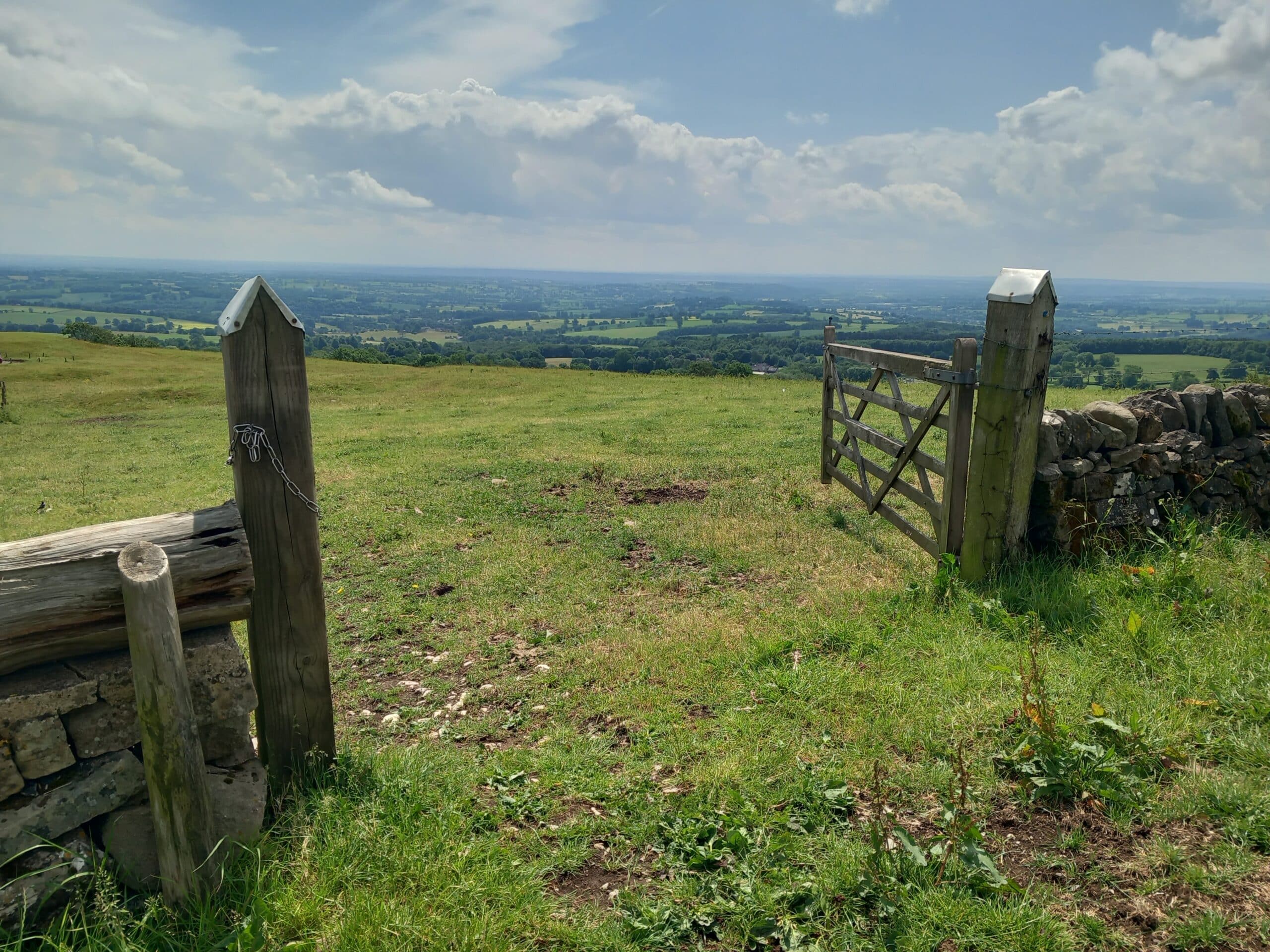
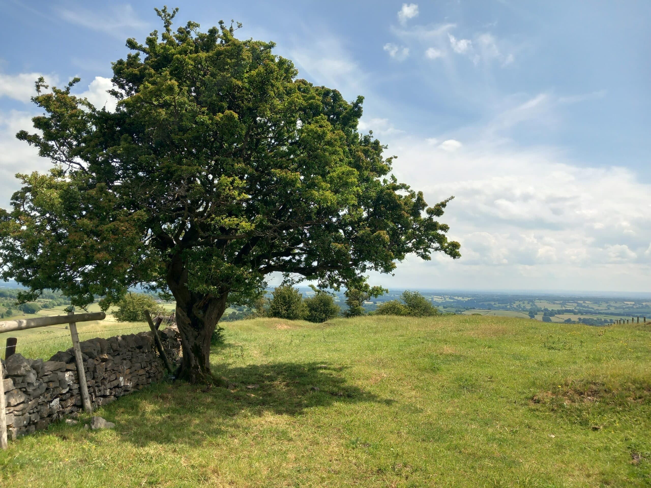
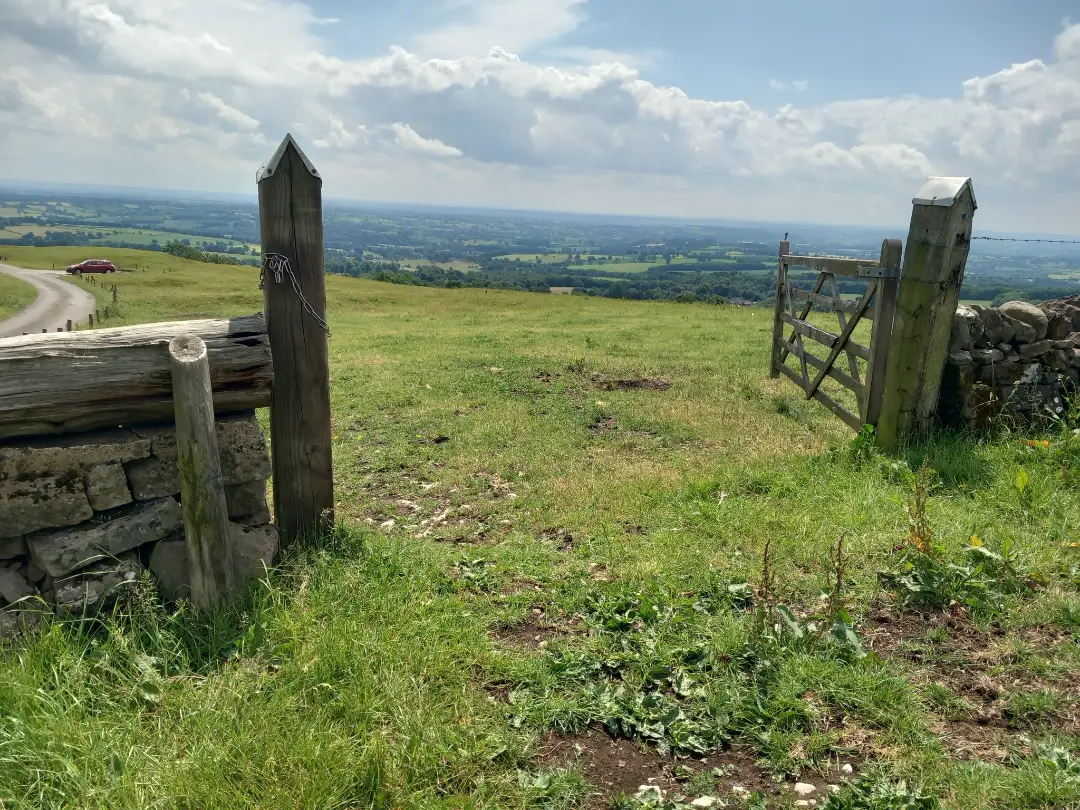
Experience the beauty of East Staffordshire’s hidden countryside on the Ellastone & Weaver Hills Walk, a scenic stroll through rolling meadows, wildflower valleys, and picture-perfect heritage villages.
This circular route (approximately 5–6 miles / 8–10 km) starts in the charming village of Ellastone, known for its 18th-century stone cottages, quaint parish church, and links to George Eliot’s Adam Bede. From the village, a gentle ascent leads to the Weaver Hills, one of the southernmost foothills of the Pennines. Along the way you’ll encounter broad panoramas of the Dove Valley, woodlands, meadows, and the rolling Staffordshire–Derbyshire landscape beyond.
In Ellastone, spot the Old Smithy and the historic St Peter’s Church, where George Eliot is believed to have drawn inspiration for her characters. On the hillside, enjoy panoramic views across the countryside—on clear days you can glimpse as far as Alton Towers in the west and Derbyshire farmland to the east.
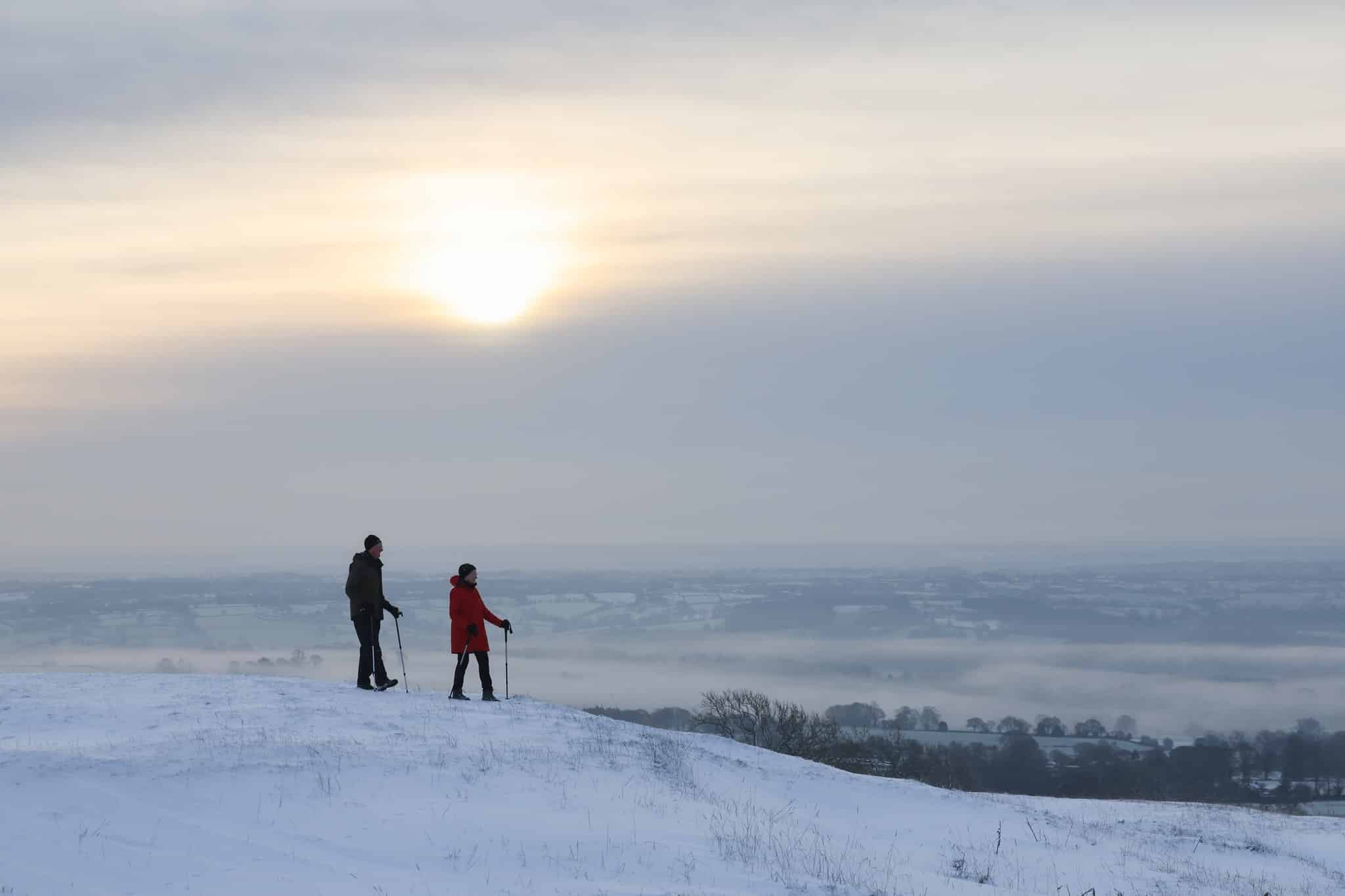
The Ellastone & Weaver Hills Walk is perfect for couples, families, nature lovers, and anyone seeking an escape from busy life. Combining heritage charm, stargazing potential (the hills are dark at night), and breathtaking views, this route captures the peaceful, timeless spirit of East Staffordshire’s countryside.
CALWICH ABBEY ROUTE: 2.5 miles (4km) 1.5 hours – a gentle stroll with few gradients,
the ideal introduction to the landscape surrounding Ellastone. Features charming countryside, some interesting flora and fauna. Ellastone’s historic church and the ruins of Calwich Hall.
MICHAEL’S LANE ROUTE: 3.7 miles (6km) 2.5 hours – an interesting addition to the
Calwich Abbey circuit, incorporating a few gentle climbs and descents. Walk along a ‘green road’, learn of the vanished Wootton Hall and enjoy the peace and quiet of this agricultural landscape.
WEAVER HILLS ROUTE: 7.5 miles (12km) 4 hours – a longer and hillier route for the reasonably fit. The upper section of this route ascends into genuine ‘hill country’. Weather conditions are liable to sudden change and you may be exposed to strong winds or rain and appropriate waterproofs and walking boots are essential. Additionally, this route crosses rocky ground and includes a very steep descent from the summit of the Weavers.
Feature image: Rod Kirkpatrick Photography
Click on the first photo open the image gallery