
Length: 41 miles / 66km
Duration: TBC
Difficulty: Easy
Direction: One way
Accessibility: TBC
Summary
This long-distance footpath was established by Staffordshire County Council to mark the Millennium. The Way for the Millennium spans the width of the County for 65 kilometres, running from Newport in the west, to Burton upon Trent in the east. The route is based wholly on public rights of way, the Stafford to Newport Greenway or canal towpaths, for which permission has been granted by British Waterways.
The Way for the Millennium complements the Staffordshire Way which is a long-distance footpath running north to south across the County. Unlike the Staffordshire Way, which is solely for walkers, parts of the Way for the Millennium are available to horse riders and cyclists.
- Newport to Gnosall
- Gnosall to Stafford
- Stafford to Great Haywood & Shugborough
- Great Haywood & Shugborough to Mavesyn Ridware
- Mavesyn Ridware to Pipe Ridware and Morrey
- Wychnor Bridges to Shobnall and Burton upon Trent
Map: A downloadable version of this information, and maps of the route, is available HERE Way for the Millennium (694 KB)
Click on the first image to start the slide show
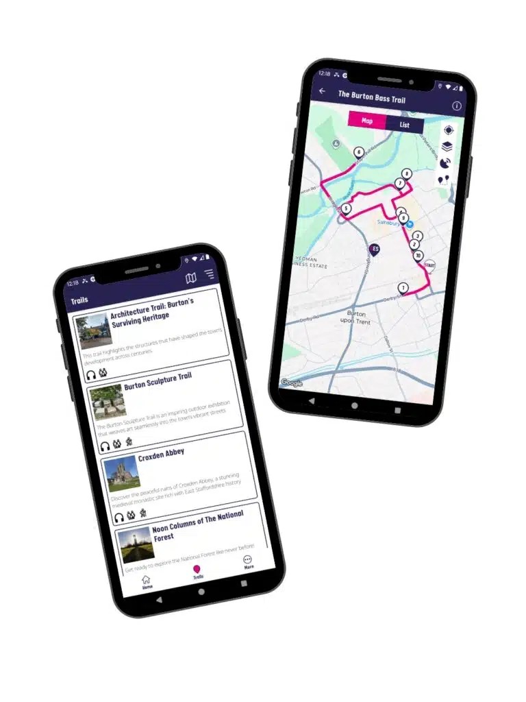
Download Our Free Trail App Today!
Don’t forget to take your guide with you! Download the Discover East Staffordshire Trails App, available on iPhone and Android, to help you find all six Noon Columns, navigate the walking routes and uncover even more hidden gems, trails, artworks and fascinating places to explore across East Staffordshire.

